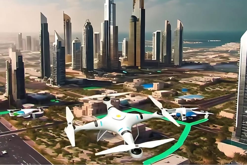
Dubai Municipality has announced the completion of the second phase of the "Dubai Horizons" project, a significant step in revolutionizing air delivery services in the city.
This project will integrate low-altitude airspace into building regulations through the use of 3D GIS technology and a collaborative platform for stakeholders.
3D GIS, a method of mapping urban areas in three dimensions including depth, will be employed to create vertical airport sites throughout Dubai. These mini vertical airports and runways will facilitate drone and air delivery services, offering an efficient alternative to traditional ground transportation methods. The integration of geospatial databases, featuring 3D maps of city landmarks and facilities, aims to bolster Dubai’s infrastructure for drone systems.
Dawoud Al Hajri, Director General of Dubai Municipality, emphasized that the completion of the “Dubai Horizons” project will significantly strengthen Dubai’s economy.
“This project will substantially enhance Dubai's readiness for drones and air delivery services, with clearly defined routes that will improve air navigation security and safety standards. It will also foster a favorable investment climate in the logistics sector,”
Al Hajri noted following the first phase's completion in November 2023.
As air delivery gains traction for its speed, lack of breaks, and avoidance of traffic, it is essential for companies to implement robust cybersecurity measures to protect sensitive information, such as customer details and locations.
News Source: Khaleej Times


