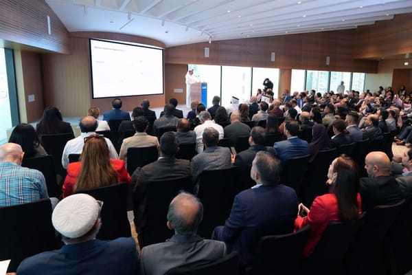
The Ministry of Energy and Infrastructure (MoEI), in partnership with the Ministry of Climate Change and Environment (MOCCAE) and the Environment Agency – Abu Dhabi (EAD), has unveiled the Geospatial Data Platform for Agriculture and Water Resources. This innovative platform aims to bolster agricultural sustainability and improve water resource management across the UAE.
The Geospatial Data Platform is designed to reduce groundwater use in agriculture by 2% and boost the use of unconventional water resources by 8-13% by 2027. It will also enhance water productivity by optimizing agricultural practices, fostering food security, and promoting innovative farming strategies.
Equipped with geospatial maps and a user-friendly interface, the platform allows farmers and government entities to access and analyze agricultural and water-related data. This facilitates informed decision-making and sustainable water demand management.
Sharif Al Olama, Undersecretary for Energy and Petroleum Affairs at MoEI, emphasized the platform's transformative role.
"It is an advanced system that redefines how natural resources are managed,"
he said, highlighting its capabilities to provide accurate data on crop production, water use, and land management.
Dr. Mohammed Salman Al Hammadi, Assistant Undersecretary of the Food Diversity Sector at MOCCAE, underscored the initiative’s alignment with national priorities.
"Food and water security are vital for building a sustainable future,"
he said, adding that the platform integrates geospatial data to enhance agricultural planning, risk management, and resource monitoring.
This initiative supports the UAE’s National Water and Energy Demand Side Management Programme, reinforcing the country’s commitment to sustainable development and food security.
News Source: Emirates News Agency
