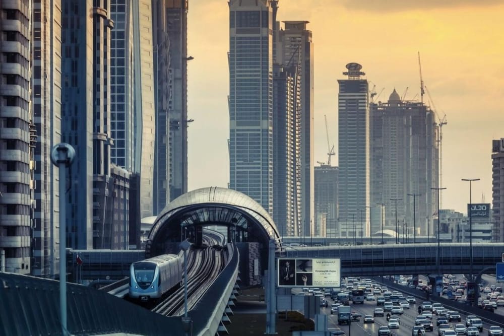
Are you new to using the public transport system in Dubai? Initially, it may not be easy to navigate the Dubai Metro.
However, it is relatively easy to read the map and understand how you can get somewhere and how much the fare will be.
There are two lines on the Dubai Metro as of now – the Red and the Green Line which connect you to different parts of the city.
Zones
The map of Dubai has been divided into 7 zones. Both lines cover five zones across the city – each zone tell one about the general location and the fare that will be charged on the Nol card.
The five zones are: 1, 2, 3, 6 and 5. The red line runs across all zones, whereas the green zone provides increased connectivity in zones 6 and 5.
Travellers will be charged varying amounts on the basis of the zones they cover. Take a look at the zone-based fares below:

Stations
The Dubai Metro has 55 stations of which 35 are on the Red Line and 20 fall on the Green Line.
The Red Line runs in two directions – To Expo 2020 and To Centrepoint (Rashidiya). The Green Line operates between Creek and Etisalat by e& (Al Nahda).
Take a look at the complete map below:

The red line is marked in red, and green line is marked in green. Interchange stations (BurJuman and Union) are marked in both – red and green.
The station names are written in blue and zones have been denoted by numbers.
News Source: Khaleej Times
