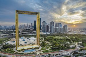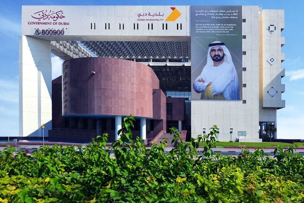
Dubai Municipality has officially joined the International GNSS Services (IGS), marking a significant step in strengthening its geospatial infrastructure.
The move aligns with the city's commitment to enhancing urban development and infrastructure planning through cutting-edge technology and precision mapping.
IGS, a global leader in satellite-based geospatial systems, supports the optimization of global navigation systems (GNSS/GPS), plate tectonics monitoring, and the calculation of International Terrestrial Reference Frames (ITRFs). By becoming a member, Dubai Municipality gains access to advanced satellite orbit data and international reference frameworks used for scientific, commercial, and educational applications.
Maryam Al Muhairi, CEO of the Buildings Regulation and Permits Agency, emphasized that the membership strengthens Dubai's standing as a hub for scientific innovation and geospatial excellence. She highlighted how this collaboration will enhance the city’s surveying operations, 3D mapping capabilities, and the integration of research into urban planning projects.
Dubai’s membership in IGS supports its strategic goals, including the development of a smarter, more sustainable construction sector, and contributes to the advancement of its digital twin ecosystem. It also fosters collaboration in various research fields, such as climate impact modelling, tectonic plate monitoring, and navigation systems development.
This milestone follows Dubai Municipality’s 2023 accreditation by the International Hydrographic Organisation, further cementing its leadership in surveying and hydrography. The IGS membership is expected to accelerate innovation and support the municipality's vision for a high-quality, globally recognized urban environment.
News Source: Emirates News Agency