Anyone who has waited on a No Objection Certificate knows the frustration.
A fit-out, a new site or an expansion can stall while utility providers each take their turn to sign off. That is exactly the kind of friction Dubai Municipality is now tackling with some serious technology behind it.
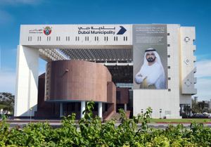
The municipality has joined the Digital Twin Consortium (DTC), a global community working to advance digital twin technologies, standards and applications. Membership gives Dubai a seat in specialised working groups, a chance to exchange expertise with international organisations and a voice in shaping future digital twin standards and use cases. It will also support knowledge sharing on how geospatial data and digital twins can be applied to urban planning, infrastructure and asset management.
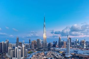
The most relevant detail for business owners came out of the consortium's third-quarter members meeting, hosted by the University of Leeds in the United Kingdom. The municipality's GIS Centre Department took part alongside participants from 10 countries who shared their experiences, technologies and applications and compared approaches to emerging practices. The Dubai delegation presented how the city turns geospatial data into a digital representation of its physical environment. It showcased 3D modelling of more than 195,000 buildings and the integration of its digital twin platform with the NOC system, developed with utility entities across the emirate.
That integration shows how city data and operational systems can be connected to support infrastructure coordination, simulate real-world conditions and improve service delivery. In plain terms, the systems behind the approvals people rely on are being linked to a living model of the city itself.
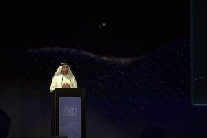
Eng. Maryam Al Muhairi, CEO of the Building Regulation and Permits Agency at Dubai Municipality, said the move builds on the GIS Centre's work to develop an integrated ecosystem for geospatial data and advanced technologies. She added that engagement with leading international organisations will give the municipality access to new knowledge in digital twins, artificial intelligence and predictive analytics, supporting a smarter and more sustainable urban model.
Eng. Maitha Al Nuaimi, Director of the GIS Centre Department, described the consortium as an important channel for exchanging knowledge with specialised organisations. She said the focus is on translating global expertise into practical value for Dubai and enabling more informed decision-making across government entities.
The membership forms part of the municipality's wider push to expand international collaboration in geospatial technologies and apply advanced digital solutions to the city's continued urban development.
For anyone building, leasing or investing in Dubai, this is worth watching. The smoother the link between city data and approvals, the more predictable timelines and planning become.
Also Read:
 Shahba Mayyeri