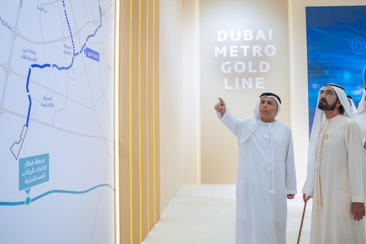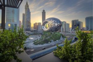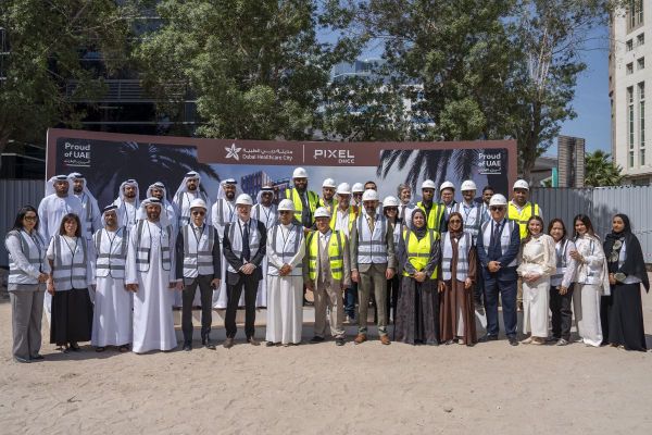
Dubai has never shied away from doing things at scale, but the newly announced Metro Gold Line is something else entirely. At Dh34 billion, stretching 42 kilometres underground through some of the city's most built-up areas, and set to serve approximately 1.5 million residents by the time it opens in 2032, this is not just another infrastructure announcement. It is the most complex rail project the Middle East has ever attempted, and by the time it is done, it will have reshaped how Dubai moves.
So what exactly is the Gold Line, where does it go, and what does it mean for the people who live, work and commute here?
What the Gold Line Actually Is
The Dubai Metro Gold Line will be the emirate's first fully underground metro line, a distinction that matters more than it might initially seem. Running entirely below the surface, with some sections reaching depths of up to 40 metres, the line has been engineered to pass through dense urban zones without disrupting the commercial and residential fabric above ground.
We are pleased to announce the largest transportation project in Dubai: a new 42-kilometre metro line. It will pass through 15 key strategic areas across the city, serve approximately 1.5 million residents, and strengthen connectivity to 55 major real estate developments… pic.twitter.com/nH9iKsiiN1
— HH Sheikh Mohammed (@HHShkMohd) April 22, 2026
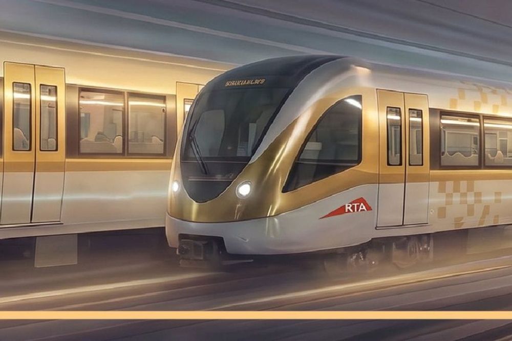
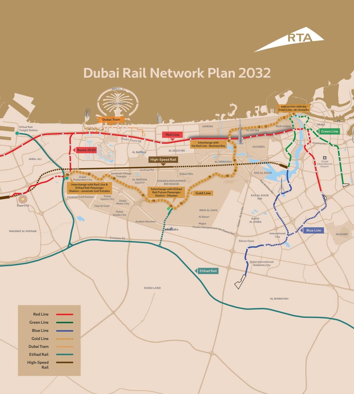
The project was announced by Sheikh Mohammed bin Rashid Al Maktoum, and is scheduled to open on September 9, 2032. The line will feature 18 stations spread across 42 kilometres, passing through 15 key strategic areas across the city. Once operational, it will expand the existing Dubai Metro network by 35 per cent, making it one of the largest single extensions in the system's history.
The Gold Line connects to the existing Red Line at two points, the Green Line at one, and will also link up with the Etihad Rail passenger service at two locations, which effectively makes it part of a national transport network rather than just another city line.
The Route: From Al Ghubaiba to Jumeirah Golf Estates
Dubai Metro Gold Line Project, the largest transportation project in Dubai, with a total cost of AED 34 billion.@rta_dubai pic.twitter.com/ekmE8zcosV
— Dubai Media Office (@DXBMediaOffice) April 22, 2026
The Gold Line runs from Al Ghubaiba in the north to Jumeirah Golf Estates in the south, cutting a diagonal path through some of Dubai's most significant and fastest-growing neighbourhoods. Along the way, it passes through Mina Rashid, City Walk, Business Bay, Mohammed Bin Rashid City, Nad Al Sheba, Meydan, Al Barsha South and Jumeirah Village Triangle.
It connects to the broader transport network at four key interchange points:
- Green Line: Al Ghubaiba Station
- Red Line: Business Bay and Jumeirah Golf Estates
- Etihad Rail: Jumeirah Golf Estates (the initial Etihad Rail Dubai station, opening later in 2026) and Meydan (a future passenger interchange station with the national rail network)
All 18 Stations and What They Unlock
While the RTA has not officially confirmed the precise location of every station, the 2032 railway network map gives a clear picture of where each stop will land. Here is a breakdown of all 18 stations and what they bring to the communities they serve.
1. Al Ghubaiba Interchange connects the Gold Line with the existing Green Line, giving commuters easy access to intercity bus services, City Centre Al Shindagha and Dubai Creek.
2. Al Mina Street provides links to Etihad Museum and the Port Rashid Passengers Terminal.
3. Al Satwa (near Satwa Bus Station) brings metro access to one of Dubai's most historic areas for the first time. Previously, the nearest metro stops were around a 20-minute walk from Satwa. This stop will also link to intercity bus routes.
4. Al Satwa Road adds a second station to one of the city's most densely populated neighbourhoods, a multicultural community known for affordable food and vibrant street art.
5. City Walk serves the European-style open-air retail and dining destination that is also home to The Green Planet and the Coca-Cola Arena.
6. Business Bay Interchange connects the Gold Line with the Red Line in the heart of the city, creating a major interchange point between two of Dubai's biggest metro lines.
7. Burj Khalifa Road adds a second metro access point to Downtown Dubai, separate from the existing Burj Khalifa/Dubai Mall station, which should help ease congestion on the Red Line in the area.
8. District 1 (near High Speed Rail line) serves the luxury residential development within Mohammed Bin Rashid Al Maktoum City. The 2032 map also shows the future Abu Dhabi to Dubai High Speed Rail passing through the neighbourhood.
9. District 1 (second stop) provides a second station slightly further south within the same development.
10. Nad Al Sheba connects the Gold Line to this up-and-coming area, home to Nad Al Sheba Mall, The Square and Hewi Dubai.
11. Dubai Hills finally brings a metro connection to an estate planned to house more than 100,000 people, already anchored by Dubai Hills Mall and an 18-hole golf course.
12. Global Village gives metro access to one of Dubai's most popular attractions, which draws more than 10 million visitors a year.
13. Future Meydan Etihad Rail Interchange will be the first metro stop in Meydan and a future passenger interchange with Etihad Rail, providing easier access to the iconic Meydan Racecourse.
14. Hadaeq Mohammed Bin Rashid serves a master-planned community designed to blend residential, commercial and retail spaces with more than 70 gardens inspired by Japanese and European landscapes, an area where the population is expected to grow significantly in the coming years.
15. Dubai Miracle Garden gives one of Dubai's most visited attractions its own metro stop, serving a park that spans 72,000 square metres and features more than 150 million flowers.
16. Jumeirah Village Circle brings the Gold Line to a popular, more affordable residential community that has seen significant development activity in recent years.
17. Dubai Production City connects the free zone and freehold area, home to media production companies and the City Centre Me'aisem retail hub.
18. Jumeirah Golf Estates Interchange is the southern terminus of the line, connecting to the Red Line and serving as Dubai's first Etihad Rail passenger station once the national rail service launches later in 2026.
What the Gold Line Means for Dubai's Residents
The most direct impact of the Gold Line is access. Areas like Al Barsha South, Dubai Hills, Satwa and Jumeirah Village Circle have long been underserved by the existing metro network, leaving residents dependent on private cars, taxis or buses to get around. The Gold Line changes that calculation entirely for up to 1.5 million people.
It is described as an "economic multiplier," one that addresses a deficit in connectivity that has constrained growth in certain parts of the city. Alongside improved access for residents, the line is expected to ease pressure on the Red Line, which is reportedly approaching capacity during peak hours, with projections showing a 23 per cent reduction in congestion between the Burjuman and ONPASSIVE stations. Across the city's major roads, it is estimated to reduce over 40 million car journeys annually.
The line also ties into 55 major real estate developments currently under construction, which means its impact is not limited to existing communities but will actively shape the growth of new ones.
How the Gold Line Fits into Dubai's Bigger Transport Picture
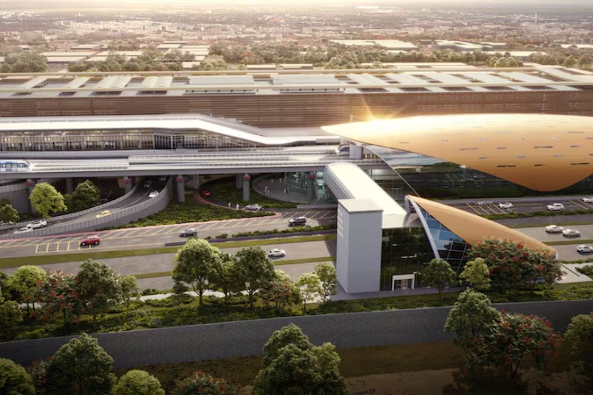
The Gold Line does not exist in isolation. It is part of a broader expansion of Dubai's public transport network that also includes the Blue Line, a Dh18-billion project spanning 30 kilometres with 14 stations, scheduled to open on September 9, 2029. The Blue Line will run from the Green Line's Creek Station through Dubai Festival City, Dubai Creek Harbour, Ras Al Khor and on to International City and Academic City, with a second route connecting from the Red Line at Centrepoint in Al Rashidiya through Mirdif.
Together, the two lines will significantly extend metro coverage across the city, with the Gold Line pushing connectivity southward and into areas that have historically been off the network.
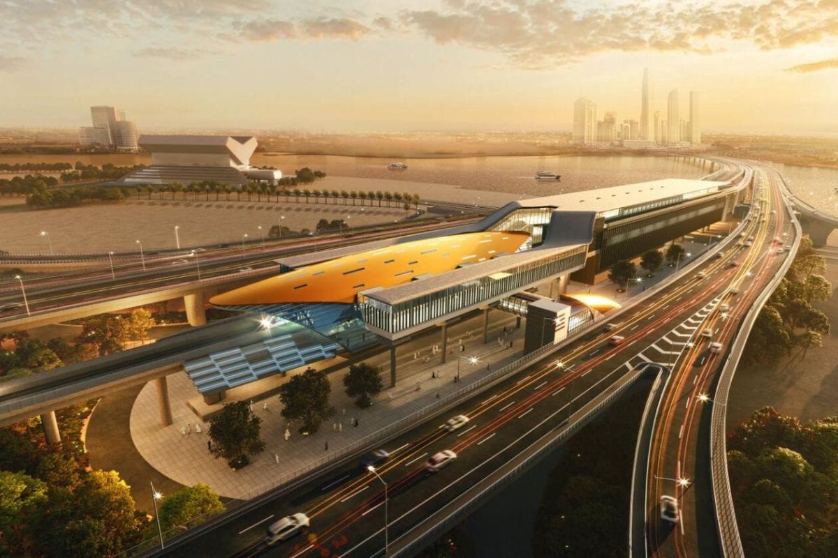
The integration with Etihad Rail adds another dimension entirely. Once the national rail service launches, the interchange at Jumeirah Golf Estates will connect Dubai's metro to a rail system that extends across the UAE and eventually the wider Gulf, making the Gold Line a node in a much larger mobility ecosystem.
Also Read: