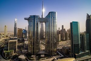
Now, tourists can meticulously plan their trip to Dubai down to the last minute, thanks to an ambitious project, which has been conceived and is in progress by the Dubai Municipality's Geographic Information Systems (GIS) Centre.
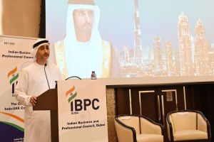
Mahra Alketbi, the project director of the initiative, underscored its salient features while speaking exclusively to Khaleej Times.
"The GIS Centre's new project will provide updated data for the road network, which will make it easier for tourists to plan how to use the transportation network to move within Dubai. It'll make it further easier for them to plan their tours,"
"Besides, it'll provide updated data for many facilities of tourists' interests such as parks, beaches, historical and natural sites, and shopping centres, etc,"
The advanced aerial photography project is being implemented by using specialised survey aircraft.
Alketbi said,
The pan-Dubai project, including Hatta, is in line with the directives of Sheikh Hamdan bin Mohammed bin Rashid Al Maktoum, Dubai Crown Prince and the Chairman of The Executive Council. The ambitious project seeks to transform the emirate into one of the world's leading smart cities,"
A twin-propeller GeoDubai two-seater aircraft, which carries a pilot and a technical support staff, has been equipped with high-resolution cameras of 150 megapixels to carry out the aerial photography and has an impressive accuracy of 10 centimetres (cm).
The state-of-the-art cameras provide wider aerial coverage.
State-of-the-art cameras
The ultra-high-resolution cameras have an innovative backside-illuminated sensor to further enhance image quality, even in low light conditions.
The cameras are designed to fit one of the seven interchangeable RS lenses, ranging between 32 and 150 millimetres (mm).
The iXM-RS150F and iXM-RS100F cameras provide the option to film several areas of Dubai in a day.
The lenses' integrated leaf shutter also offers high capture speed for an array of light conditions.
Five life cycles
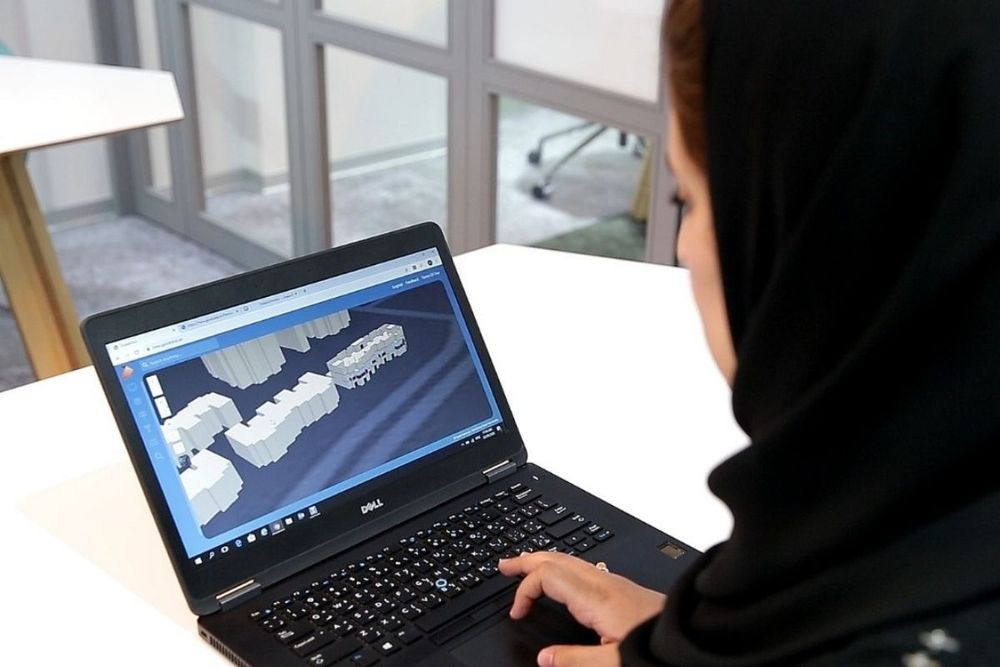
The project will generate a twin three-dimensional (3D) geospatial model to update the base map and inventory of the assets of government agencies in Dubai.
It is part of the broader mandate of the GIS Centre to collect aerial photographs and geographic data for the emirate.
Alketbi said the project would undergo several lifecycles.
Initially, it is being linked to ground control points via the Global Positioning System (GPS), she added.
Alketbi said,
"In the second step, the route and an altitude that the pilot follows will be determined. Aerial photography is the third step by using state-of-the-art digital cameras,"
"Finally, the images and data will be collated and analysed by applying advanced technology,"
The announcement regarding the availability of 3D maps on digital screens is awaited.
The completion of the eagerly anticipated project will further transform Dubai and make it one of the smartest cities in the world.
News Source: Khaleej Times